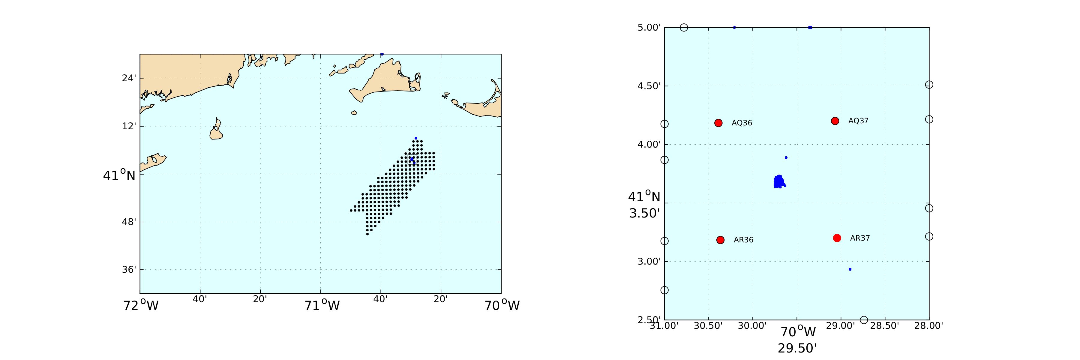
The Woods Hole Oceanographic Institution is conducting research within and near the Vineyard Wind 1 lease area.
A surface and subsurface buoy pair are regularly deployed at the location given below to monitor winds, near-surface currents, and rotation rates of installed wind turbines. These data will be collected periodically and compart to HF radar based estimates of the wind turbine radar interference to improve mitigstion methods. and Locations of WHOI assets relative to their ideal locations or track lines (shown in blue) are given with the last known position
Please contact WHOI with potential gear or course conflicts as soon as possible.
The buoy is currently out of the water.
